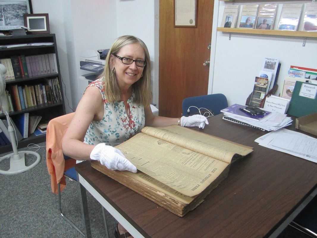
A few days ago I was browsing in the Historical Maps of Nova Scotia section of the Nova Scotia Archives website and found 14 maps of Amherst ranging from 1764-1992. The 1764 map of Amherst Township is a stunning watercolour version, much better than other maps I have been using. The lot numbers are written very clearly. There are two different Gmelin boundary lines drawn on the map with a note explaining when each was surveyed. If you have a deed for an early ancestor with a lot number on it, this map will be very helpful in locating the various divisions of the lot. I've added a link to the maps on the Cumberland County Map page under Resources and/or you can click on the link above.
- Home
-
Ripley Ancestors
-
Homesteads
-
Homesteads Overview
>
- Robert Ripley and Isabella Beane: The Fletcher Lease
- Robert and Henry Ripley: The Yorkshire Land Grant >
- Homestead of Henry Ripley and Mary Fawcett
- Homestead of William Ripley and Hannah Coates >
- Robert Ripley and Jane Rushton: Luke Harrison's Farm >
- Homestead of John Ripley and Margaret Donkin >
- Andrew C. Ripley and Elizabeth Pipes: The Home Place >
-
Homesteads Overview
>
-
Wills
-
Related Families
- Resources
- Blog
 RSS Feed
